The 23 festivals you can’t miss in Andalucia
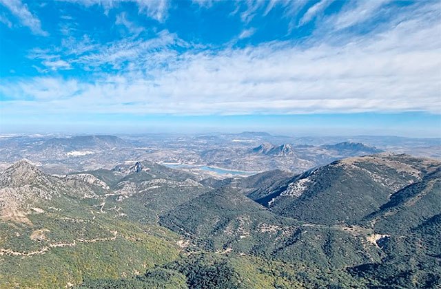
Andalucia cannot only boast of its beaches, as it is true that another of its greatest attractions lies in the spectacular contrast offered to lovers of mountaineering, the mountains of Andalucia are erected in its interior as the roof of this land full of contrasts. If you want to discover the charms of the mountains of Andalucia, get well, take your backpack and camera because we show you the routes to crown the eight “top peaks of Andalucia”. An unparalleled appointment for hiking in Andalucia so you can enjoy the highest points of the different provinces that make up southern Spain.
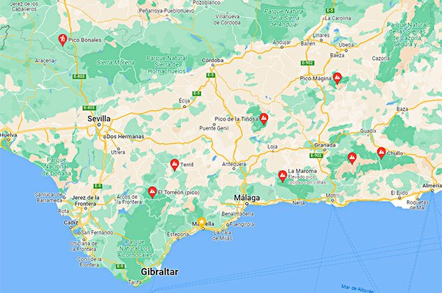
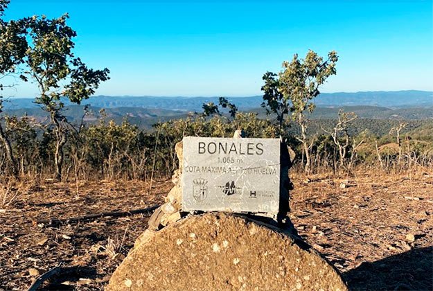
Pico Bonales (Huelva)
The tip of the province of Huelva is located at 1055 metres up. Its name refers to the lower lands, flooded with water and serving as a pasture. It is located in the Sierra de Aracena and Picos de Aroche Natural Park and our journey begins in the town of Arroyomolinos de León.
It is a low difficulty path and has a total distance of 22km. It may be linear or circular, depending on whether we decided to walk to the province of Extremadura to climb the Tentudía peak and visit the monastery or if we prefer to descend to the starting point after reaching the top of Bonales.
We start from Arroyomolinos de León and choose our path which runs by the cemetery along a concrete road to the start of a paved trail. We start climbing up to the Puerto de la Gila. At this point, we continue to the right past the chestnut tree until we reach the oak tree hill.
We continue along the path until we reach a fork at the Era de Collado and take the left path. We have to cross a gate next to the ruins of a house and continue along until we find some marked trees alongside the road where it forks. We take the left-hand path again.
Once we reach a small plateau, we take the path of Bonales and continue the climb up to the tip of Huelva.
El Terril (Sevilla)
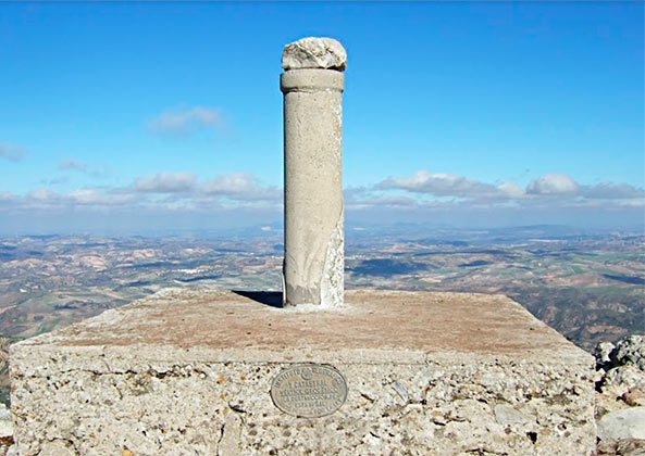
The peak of Seville is located in the Sierra del Tablón or del Terril. It has a height of 1,121 metres and is a medium-difficulty route covering a total round-trip distance of 7km and an estimated time of 3 hours.
We start in the car parks at the 8-km point on the road between Pruna and Olvera, where we can leave the car and began our ascent up to the Puerto de la Ventana where we find an old rain gauge. The trail we follow winds through the Ventana and El Terril hills and continues on to the highest point of Seville.
El Torreón (Cádiz)
The first thing to remember is that we need to obtain authorisation from the Ministry of the Environment at the information desk in El Bosque. The trail is closed from June 15 to October 31 due to risk of fire.
It is 3km long and takes about 3 hours. It starts in the El Torreon car park. There we take the path indicated by an information panel and walk through a thick forest through which we will be guided with wooden posts which lead the way.
Then the land becomes more open and we can enjoy some specimens of fir tree. From this point onwards, the ascent to the summit begins which is 1,654 m high. On clear days you can see both Gibraltar and the Rif Mountains.
La Tiñosa (Córdoba)
La Tiñosa is the highest peak in the province of Córdoba. At 1568m high, it is located in the Sierra de la Horcanera in the municipality of Priego de Córdoba.
Our trail is 9 km long and takes 5 hours from the farmhouse Alto de Torres. There’s an esplanade where we leave the car and walk along the path until we reach a hill close to Puerto Mahina where the slope smooths out. Here the Pico de la Tiñosa is on our left.
We take a natural rocky path leading towards La Tiñosa where we climb up to the summit.
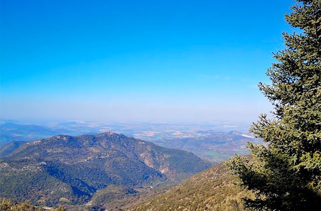
La Maroma (Málaga)
The highest point in Málaga is located in the Natural Park of the Sierras Tejeda, Almijara and Alharma. It is a moderate-high difficulty circular route. It covers nearly 17 km and takes 6 hours to reach the peak of La Maroma at a height of 2,066 m.
We start from the Oak Grove recreation area and begin climbing between oaks, cistus, gorse and junipers, and we proceed past the fence next to the Los Barracones guesthouse.
The path becomes steeper as we climb the Selladero hill and we must remember that the signs can sometimes be lost and the climb becomes more pronounced towards the summit. From La Maroma onwards, the path is all downhill and marked with beacons. The views are unparalleled.
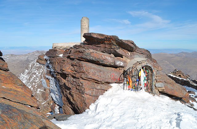
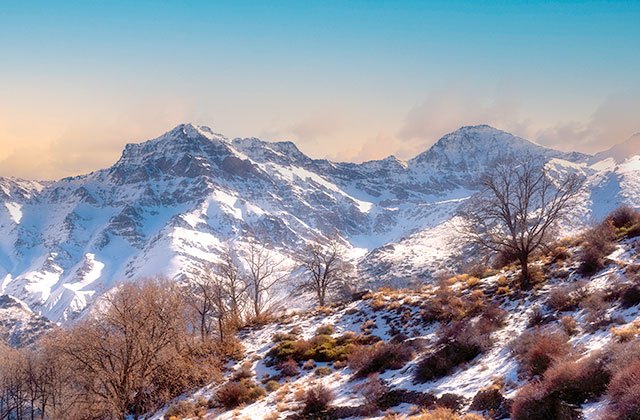
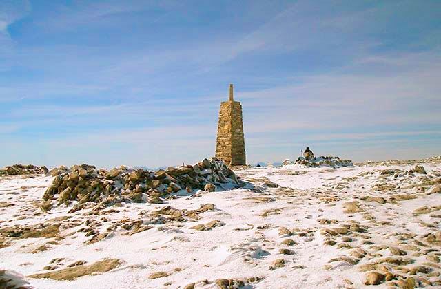
Mulhacén (Granada)
The Mulhacén is the highest point in Granada and also the highest peak on the Iberian Peninsula but that does not make it a difficult route. This route goes up the south face of the Mulhacén hill. It is relatively easy and takes a total of 4 hours to climb it, covering about 12 km in distance.
The summit is located in the Sierra Nevada natural park and the tour begins at the Alto del Chorrillo although the car must be left 8 km before. At the beginning of the route, we find a fork in the room and we take the right one which climbs up to our destination.
We reach a point called Falso Mulhacén or Mulhacén II (3,362 m) and we continue up the Cañada de Borreguiles towards the true Mulhacen. We reach the 3,482 m summit and enjoy the incredible views. Below the summit is a chapel with the image of the Virgen de las Nieves.
The descent begins again by the Loma del Mulhacén through the same location through which you ascended.
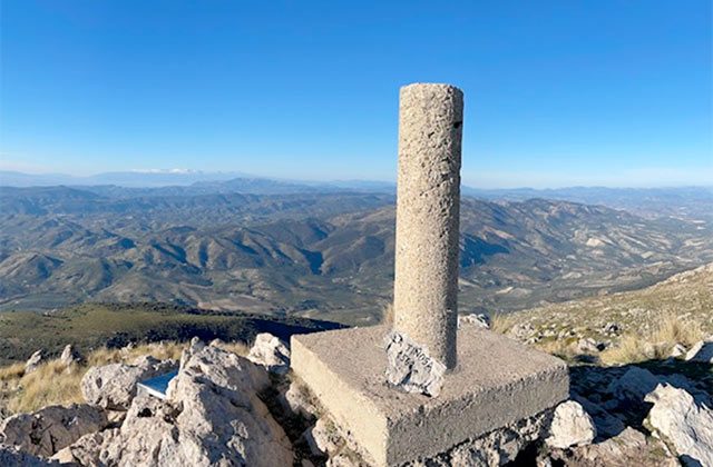
Pico Mágina (Jaén)
This circular route takes us to the Pico Mágina, the highest point in the province of Jaén. This ascent will takes us 7 hours to walk its 14 km, there and back, through the Sierra Mágina Natural Park.
It is a moderately difficult trail that begins at Cañada de las Cruces where we leave the car and start walking along a wide lane where the ascent begins. The road ends at a point on our ascent and we start following a path that will continue until a fork where we turn left toward Sierra Mágina.
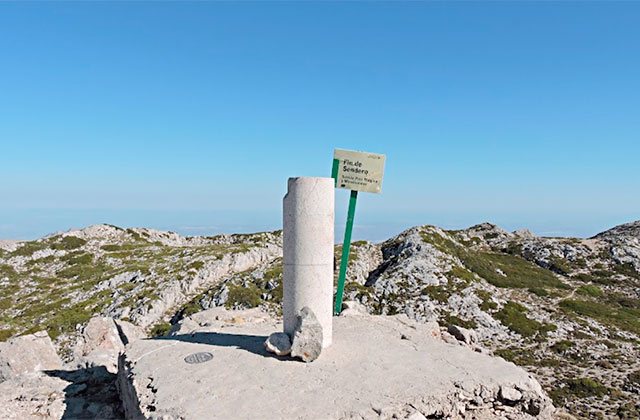
From there, it is advisable not to leave the path that leads to the top, 2,167 metres high.
Pico El Chullo (Almería)
Our last Andalucian peak is the Chullo, at a height of 2611 m located in the Sierra Nevada in Almeria. It is a comfortable distance of about 10km and takes about 4 hours. This is an easy route which starts at the port of Ragua at a height of 2000m where we can leave the car.
When we come across the first turn, we take the left path and see that the route passes through a firewall almost to the summit, with a fairly dense wild pine forest on both sides.
A new diversion requires us to take the path on the right which has a steep slope and which becomes more acute as we go. At the summit, we simply have to stop and see the sights as we can perfectly see the Mulhacén peak.
Here are some tips and recommendations to make the most of your hiking experience in Andalucia:
8 hiking trails to get to know the province of Malaga
The best hiking trails in Alpujarra Granadina
Enjoy the best hiking trails in Alcalá de los Gazules, Cádiz
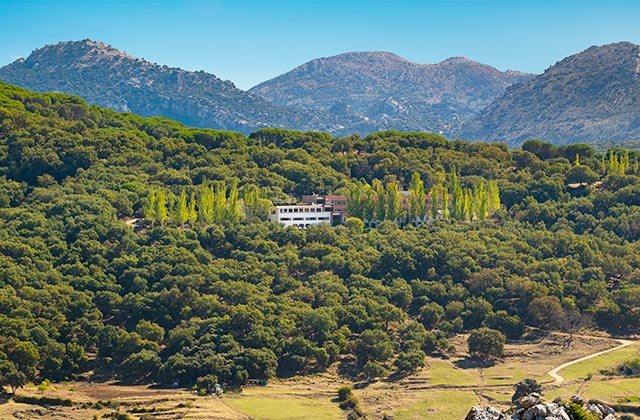
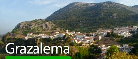
Hotel Fuerte Grazalema
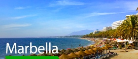
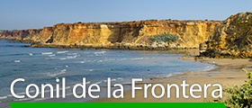
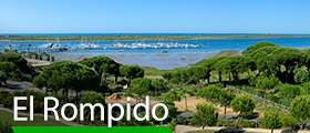
If you want to experience the thrill of feeling Andalucia at your feet and take in amazing views from this land, Fuerte Hoteles, with over 60 years’ experience, is the best choice. Stay at Fuerte Grazalema, Fuerte Conil Resort or Fuerte El Rompido to enjoy the peaks of Huelva, Cádiz and Seville. Choose El Fuerte Marbella or Olée Holiday Rentals, near the peak in Málaga, to climb the more eastern peaks of Jaén, Granada and Almeria.