Travel diary from Grazalema: Pinsapar Route
Another week has gone by and, just like every Wednesday, we are lending our blog to Petra and her travel journal. This German woman wanted to share her experiences with sport, trekking and nature during her five day stay at the Fuerte Grazalema Hotel. After the Llanos del Endrina (Endrina Plains) Route, the Salto del Cabrero walk and the River Campobuche Lagoon, today we are continuing with one of the most beautiful routes through the Sierra de Grazelema Natural Park. Over to you Petra:
Day 4: Thursday, 12 km, approximately 5 hours
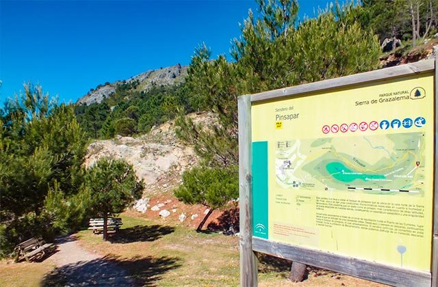
This route takes us through the forest located between Grazalema and Benamahoma, along the north face of the Sierra del Pinar.
The climb starts at an altitude of around 1000 metres and as the route progresses – a continuous climb – it is possible to enjoy beautiful views over Grazalema, the new reservoir and the Sierra de las Nieves. We carried on walking and were lucky enough to get a great view over the Sierra del Pinar from Puerto de las Cumbras.
We discovered various things along the route. We found a thorny, round, pillow-shaped plant known as the “nun’s cushion”. We learnt how ice used to be made and used for cooling and spotted a deep well where alternate layers of snow and foliage, branches, etc. used to be stacked up. The climate caused the formation of ice, which was later collected for use. Rosa pointed out two male mountain goats, which we were lucky enough to see briefly.
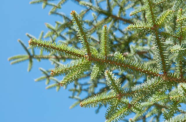
Our route then took us into the depths of the Pinsapar forest. The air is cool, very pleasant and somewhat humid, meaning that there are mosses and ferns in abundance in this area. Ivy crawls up the thick branches of the pine trees. We saw the enormous roots of the upright Spanish fir trees, which look very mysterious.
Climbing upwards all the time, we left the pine forest behind and paused briefly at Puerto del Pinar, where we enjoyed some more magnificent views over the Pinsapar forest. From there the climb up to Benamahoma started, along a passable track that gradually got wider.
I learned that it is best not to leave the track when the conditions are like this, as it is easy to slip and fall. This wonderful route ends at the Benamahoma fountain.
